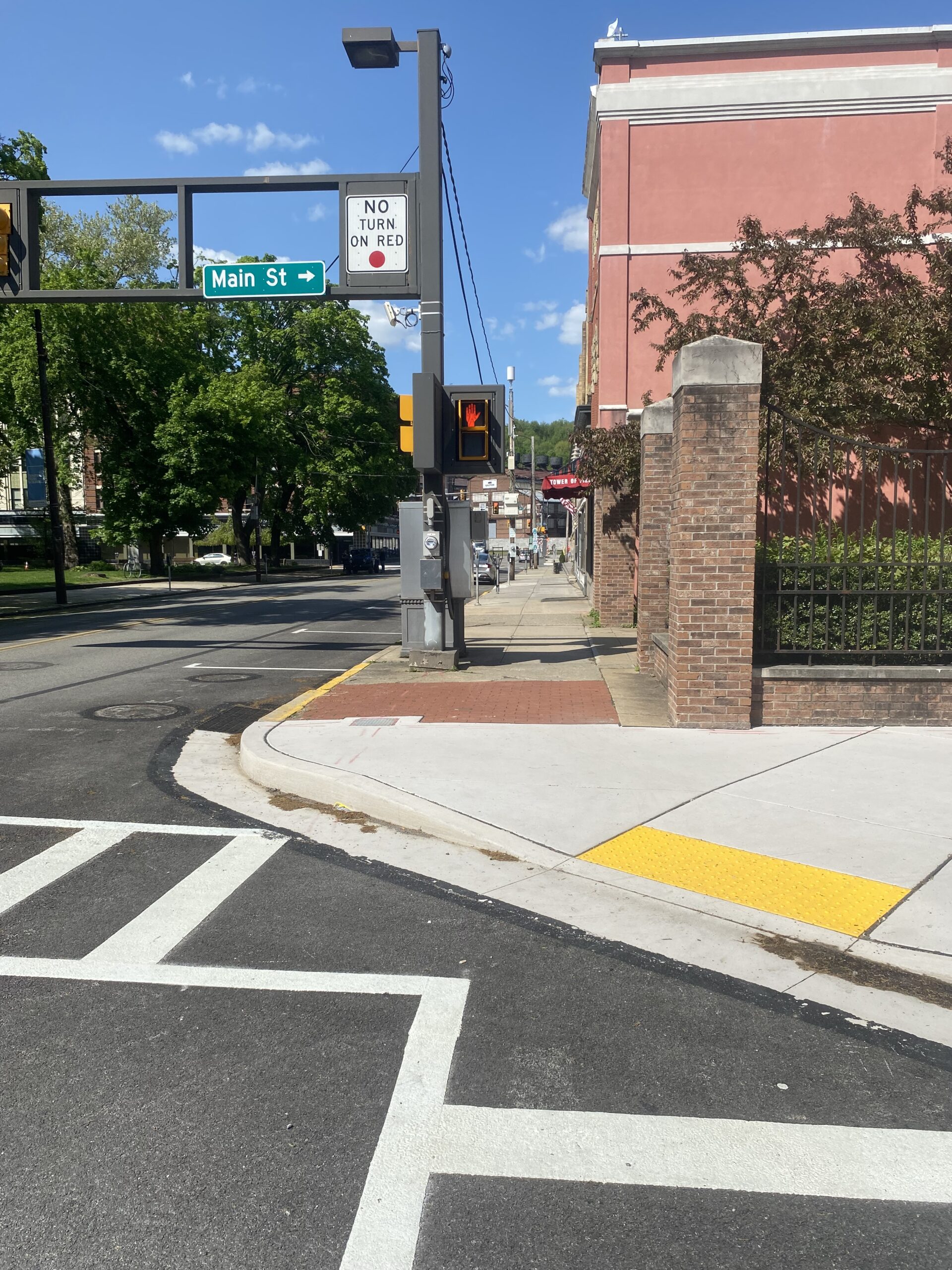
The City of Johnstown has secured funding for the reconstruction of Main Street’s sidewalks and parks located within the City’s Central Business District, from Johns Street to Adams Street – approximately .65 miles long. Sci-Tek is providing a survey of existing conditions and topography of approximately 3,500 linear feet of the Main Street corridor including sidewalks and roadway between Johns Street and Adams Street, including Central Park and two parklets at the intersection of Main & Market Streets. As a subconsultant to the landscape architect, Sci-Tek provided the following surveying services:
- Performed a field survey to establish horizontal & vertical control points that are referenced to the State Plane Coordinate System (PA South) NAD 83 horizontal datum.
- Submitted a PA One Call Preliminary Design notification to request information from participating utility companies on the existing underground utilities within or adjacent to the approximate survey limits.
- Performed a topographic survey of the existing site conditions including observed existing improvements, such as buildings footprints (including business identification), curbs, driveways, shoulders, ramps, sidewalks, crosswalks, parking meters, islands, pavement, roadway paint striping, curb inlets, signs, traffic signals, manholes, storm drain inlets, hydrants, valves, vaults, poles, and other visible above ground utility appurtenances.
- Performed the necessary research to obtain the record documents containing the metes and bounds description(s) or reference to a subdivision plan of the subject tract(s).
- Computed the geometry of the subject tract(s) and compile a deed mosaic drawing from deed descriptions and plats as available in the public record.
- Performed property line surveys of the tracts with street frontage within the project area.
- Prepared an existing conditions survey drawing showing the features surveyed.


